
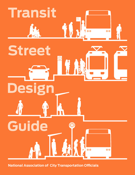
REVIEW: NACTO’S TRANSIT STREET DESIGN GUIDE
The new Transit Street Design Guide, the third in a series by the National Association of City Transportation Officials (NACTO), is a must-have reference manual for city planners, transportation planners, engineers, urban designers, and landscape architects involved in the design of streets. These books, which include Urban Bikeway Design Guide and Urban Street Design Guide, formulate a new approach to the design of our public rights-of-way, not only as transportation corridors but as important spaces for city life.
Street and highway design has been dominated by civil engineering technical manuals, namely American Association of State Highway and Transportation Officials (AASHTO)’s Policy on Geometric Design of Highways and Streets — otherwise known as the “Green Book” — along with the Manual of Uniform Traffic Control Devices (MUTCD). These together form the core documents that state, county, and city transportation departments have relied upon as street design criteria for the last half century.
However, in the past few decades — as automobile transportation peaked, personal vehicle miles traveled per day soared, and congestion increased, resulting in wasted time and productivity — officials in some of our larger cities moved towards more productive forms of transportation, using transit street designs not seen in AASHTO or MUTCD. An emerging movement coincided with three city planning trajectories: 1) “smart growth” — compact, mixed use development, centered on high-capacity transit stations in a pattern that favors walking and bicycling; 2) the renaissance of America’s downtowns as desirable places to live, work, recreate, shop, and enjoy culture; and 3), enhanced or new transit to city centers.
Because downtowns use existing developments and rights-of-way, this spawned new ways of thinking about not only moving people in urban streets but also how street space is a part of civic open space. Street space offers a great opportunity: In my home town of Portland, Oregon, streets occupy over 45 percent of the land area downtown.
The stage was then set for a new transportation movement. NACTO was formed in 1996 as a coalition of city departments of transportation for 22 of the nation’s largest cities and now includes 17 affiliate cities. NACTO gained legitimacy in the industry and stimulated a more multi-modal outlook in AASHTO and MUTCD’s guides. In turn, NACTO refers back to AASHTO and MUTCD manuals for more detailed technical criteria.
Transit Street Design Guide is a reference manual so it’s not necessary to read from cover to cover in one sitting, but it’s ordered in a way to easily find the topic you want to explore and go directly to that section. This has been the format of all the books in NACTO series and their free, complementary websites. The book offers advice on choices, how to interpret specific recommended criteria (critical, recommended, and optional, for example), and clear references back to other technical manuals.
In the introduction, NACTO lays down six key principles for innovative thinking. For example, one principle is “growth without congestion,” which calls for “serving more people in less space” and “making transit trips faster on streets with high travel demand.” The other five principles set the stage for creating richer street places, providing better service and mobility for the whole city, ensuring safety, and generating economic benefits from reliable travel choices. NACTO also explains why transit reliability matters, and the components of design and service that create reliability.
Chapters explore transit streets, stations and stops, station and stop elements, transit lanes and transit ways, and intersections. These are all organized with the principles that underlie all street designs and should be kept in mind as a landscape architects and engineers make decisions. These are then followed by a description of the different contexts for design. Clear paragraph headings — such as application, benefits, considerations, critical, recommended, and optional — make it easy to choose a design for further analysis.
These segments typically include one to two-page spreads for each design type featuring outstanding illustrated graphics. Simple line drawings are in birds-eye perspective with color tone and numbered legend symbols. User-friendly illustrations are complemented by photos of the design types built in cities across the country.

A bonus chapter on transit system strategies peeks into the world of transit system planning and includes sections on systems, ranging from multi-hub (a series of inter-modal transfer stations where passengers change to another line); grid network (great for cities with consistent grid street patterns and distributed destinations); radial network (great for cities with strong downtowns), with benefits and considerations noted. Again, great graphics are used to help a lay-person grasp these concepts.

The last segment — performance measures — is particularly important. For decades, the traffic capacity of streets and intersections was the primary performance measure for street design, and the results of these measurements trumped all other concerns. The book advocates a holistic approach called “Measure the Whole Street” — as in, average person capacity per lane space, safety, public space and social life, health, sustainability, and economic productivity as additional performance measures.

One minor quibble with the guide: in the double-page birds-eye perspectives of transit street types, the caption lists street width in parentheses. This is typically, but not always, the curb-to-curb dimension. Because overall street width from building face to building face is so critical in total street design, I would have listed both curb-to-curb and building face-to-building face widths so the reader would know at a glance what the sidewalk widths are. You can uncover those missing dimensions in other detailed segments, but it’s important to list total street space.
If you are new to the NACTO series but genuinely interested in 21st century street transportation and street design, get all three books. They are worth the investment. If you’re already a NACTO fan, add this book to your library.
Going forward, street design must increase circulation for all transit modes, improve economic vitality and safety, and result in great placemaking — places that promote community identity, health, and well-being.
Brian McCarter, FASLA, AICP, is principal urban designer at ZGF Architects based in Portland, Oregon. He has 30 years of experience creating urban street designs in Chicago, San Francisco, Denver, Seattle, Calgary, Boise, and, notably, the Portland Mall Revitalization, an ASLA 2011 Professional General Design Award of Excellence winner.
Related Posts
Tags
Share This


Follow Us!